Creating maps with landforms .
- Ms. Robertson

- Dec 20, 2019
- 1 min read
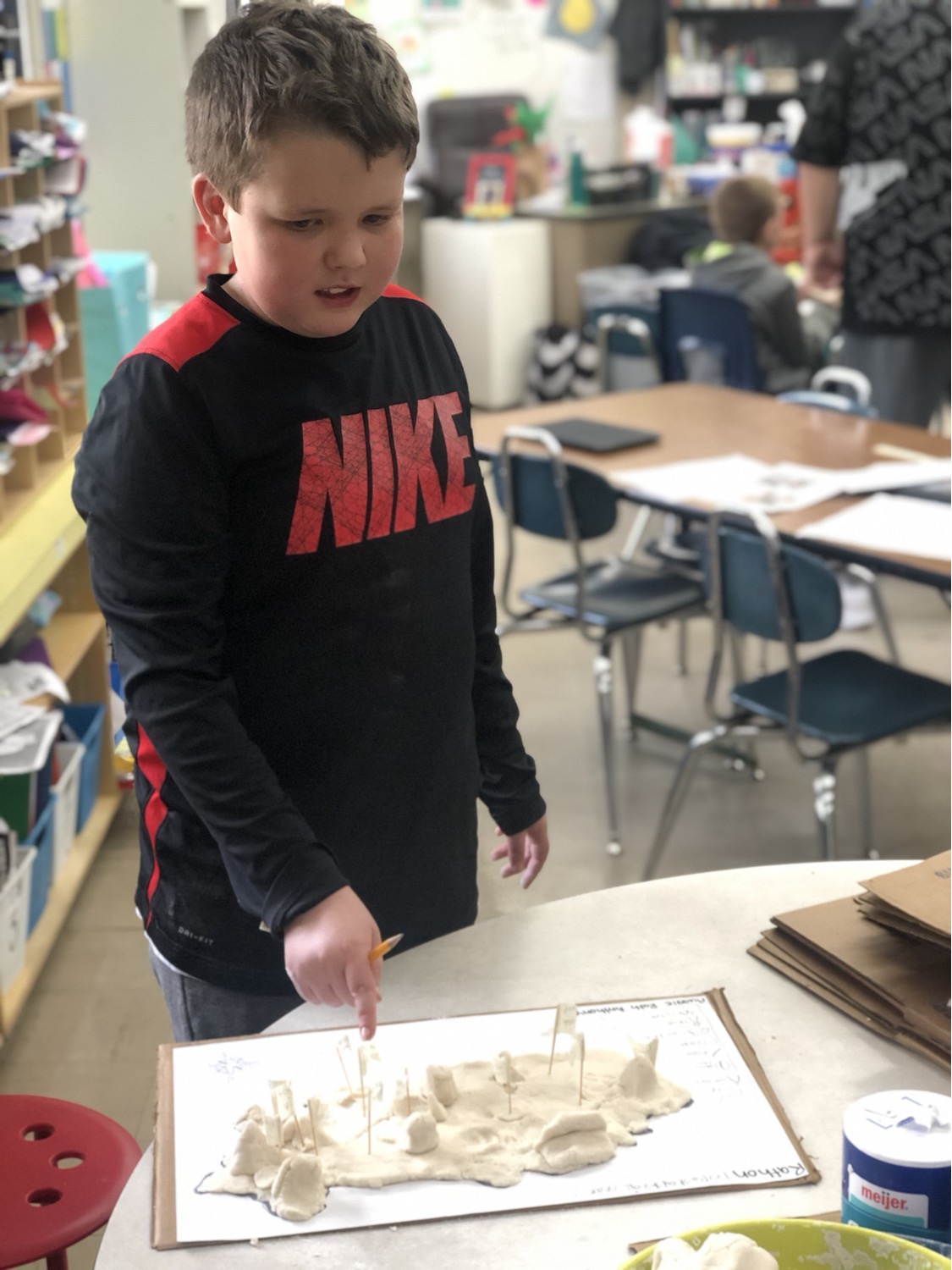
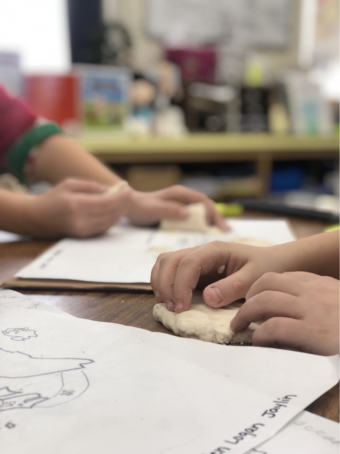
Students spent time working on creating topographical maps of their group created countries. Working in teams, students learned to how to scale their project and recreate the elements they listed in their maps. It was a great way to spend the day.


Comments